

STAY UP TO DATE...
I accept terms & conditions and privacy policy.
I want to receive Exclusive Offers from partners (advertising)
Thank you for your registration
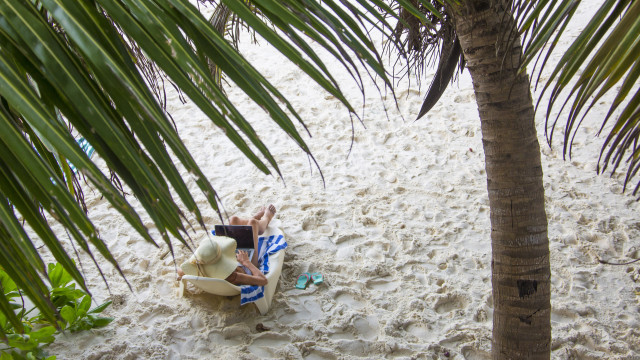
TRAVEL
Digital nomad
09/04/25

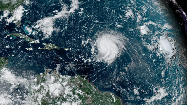
TRAVEL
Flying
09/04/25

TRAVEL
Relationships
07/04/25

TRAVEL
Flying
04/04/25

TRAVEL
Vistas
03/04/25

TRAVEL
Nature
03/04/25

TRAVEL
Rain
27/03/25

TRAVEL
Intelligence
26/03/25

TRAVEL
Flying
26/03/25

TRAVEL
Etias
25/03/25
MOST READ
- Last Hour
- Last Day
- Last Week

TRAVEL
Medicine
25/03/25

TRAVEL
Destinations
25/03/25

TRAVEL
Trends
23/03/25

TRAVEL
Towns
21/03/25

TRAVEL
South america
21/03/25

TRAVEL
Emergency
21/03/25
TRAVEL
Paranormal
21/03/25

TRAVEL
Food
21/03/25

TRAVEL
Ethical tourism
20/03/25

TRAVEL
Dark tourism
20/03/25

TRAVEL
Advice
20/03/25

TRAVEL
Hinduism
20/03/25

TRAVEL
Us cities
20/03/25

TRAVEL
Peru
20/03/25

TRAVEL
Geology
20/03/25

TRAVEL
Food
20/03/25

TRAVEL
Destinations
20/03/25

